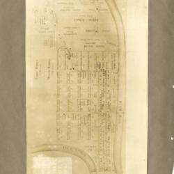
Land Owners Map (1819-20)
Title
Land Owners Map (1819-20)
Description
Photo image of scanned scrapbook page showing a land owners map of Portsmouth. The map also shows how many acres each owner had (1819-20).
Creator
Henry A. Lorberg
Date
Unknown
Format
Scanned scrapbook page
Coverage
Portsmouth, Scioto County, Ohio
Rights
Scioto County Public Library
Collection
Citation
Henry A. Lorberg , “Land Owners Map (1819-20),” Local History Digital Collection, accessed January 13, 2025, https://yourppl.org/history/items/show/21339.

